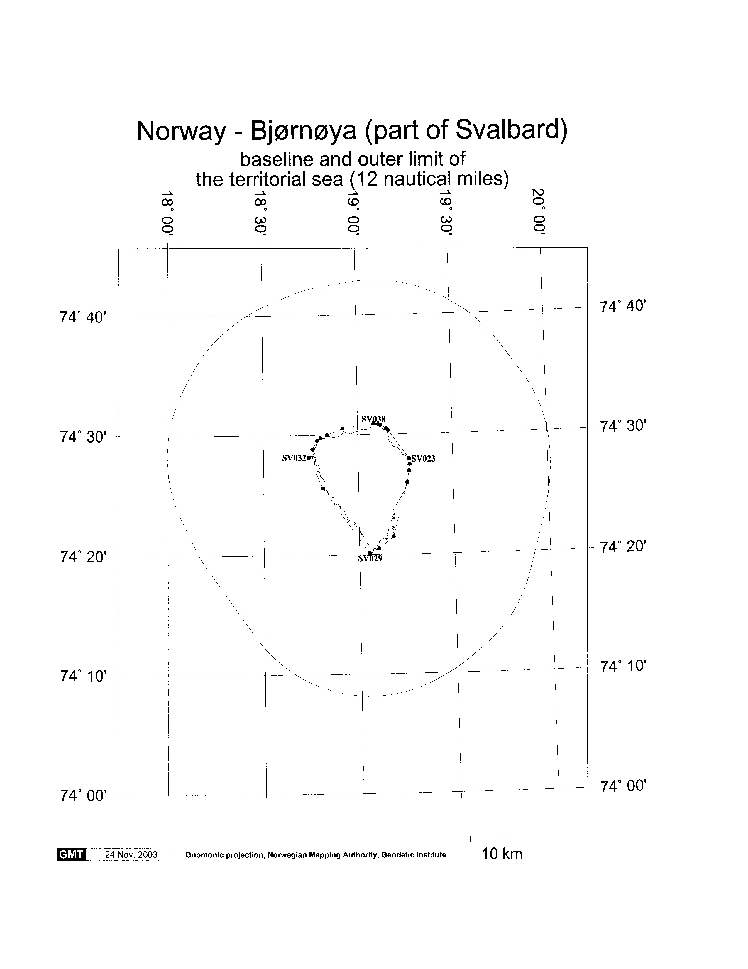
Norway maritime claims about outer limits of the territorial sea around mainland Norway, Svalbard and Jan Mayen and extent of the territorial sea around mainland Norway(2003)
Jan Mayen, Jan Mayen maritime boundaries, limit of the Norwegian territorial sea around Jan Mayen, Maritime Claims, Norway, Norway continental shelf map, Norway EEZ map, Norway internal waters map, No
By IILSSNET Editorial · 1 MIN READ
#Jan Mayen#Jan Mayen maritime boundaries#limit of the Norwegian territorial sea around Jan Mayen#Maritime Claims#Norway#Norway continental shelf map#Norway EEZ map#Norway internal waters map#Norway maritime boundaries#Norway maritime claims#Norway territorial waters map#Svalbard
list of geographical coordinates of points defining the outer limits of the territorial sea around mainland Norway, Svalbard and Jan Mayen; and deposit of the list of geographical coordinates of points as specified in the Regulations relating to the baselines for determining the extent of the territorial sea around mainland Norway, as laid down by Royal Decree of 14 June 2002, as amended by Crown Prince Regent’s Decree of 10 October 2003.




Comments
Thank you — your comment has been published.
Thank you — your comment was received and will appear after approval.
Human verification failed. Please try again.
Please fill in the required fields correctly.
Too many comments. Please try again later.
Your comment was rejected by the spam filter.
Too many links in the comment.
Comments are closed.
No comments yet.